

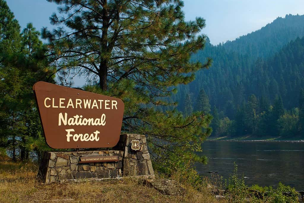
If you’re driving through Idaho and see smoke, it may just be part of a controlled burn. The Forest Service announced plans to perform prescribed burning starting as soon as next week. They’ll be working around Syringa, Palouse, Potlatch, and many other parts of North Central Idaho.
Those areas may be closed to the public for several days. You should watch for warning signs
along roads near all prescribed fire areas before and during burns.
National Forest leaders say they use prescribed fires to help reduce overgrown vegetation to help protect local communities, infrastructure, and natural resources for wildfires.
If weather conditions don’t allow, the Forest Service will not burn.
Here’s the complete list of planned activity:
80 acres south of Syringa, Idaho with short smoke impacts possible on FS-286, Fs-286A,
FS0653, FS-470 and Highway 12
350 acres in the Palouse, 8.5 miles Northeast of Potlatch near Prospect Peak and FR 77 and FR 370. Smoke will be easily visible in Latah County and from the highway 6 and highway 95 corridors with likely visibility for several days in the Palouse River drainage follo9wing firing operations.
500 acres approximately eight miles of Kelly Forks Work Center. Minimal smoke impacts
expected with possible visibility from FS 255, 250, and 581
400 acres approximately 25 miles east of Pierce, Idaho near FS 247+250 between
Washington Creek and Cedars Campground. Smoke may be visible from FS 247 and 250.
4 miles North of Orogrande and 6 miles South West of Elk City in the Orogrande CCP
project area. Natural fuels and fuels generated from thinning. Potential Smoke impacts will
be FS233 rd, the Elk City Township , community of Orogrande, and the Red River valley.
Smoke will be dispersed by transport winds impact should be low. Smoke impacts during
the day will be low but at night and in the mornings residual smoke may impact the valleys
and FS 233 rd.
7 miles west of Elk City in the Dutch Oven Timber sale area. Potential Smoke impacts will
be Hwy 14, the Elk City Township, and the Red River valley. Smoke will be dispersed by
transport winds impact should be low. Smoke impacts during the day will be low but at
night and in the mornings residual smoke may impact the valleys and hwy 14.
2 miles South of Elk City in the South Township project area. Potential Smoke impacts will
be FS222 rd, the Elk City Township, and the Red River valley. Smoke will be dispersed by
transport winds impact should be low. Smoke impacts during the day will be low but at
night and in the mornings residual smoke may impact the valleys and FS 222 rd.
7 miles west of Elk City at the mouth of Newsome Creek. Potential Smoke impacts will be
Hwy 14, the Elk City Township, and the Red River valley. Smoke will be dispersed by
transport winds impact should be low. Smoke impacts during the day will be low but at
night and in the mornings residual smoke may impact the valleys and hwy 14.


